Amenities
Mapping public and private amenities in the city of Be'er Sheva
Be'er Sheva | September 2024
%20(1)_gif.gif)

Understanding the distribution of public and private services across the city is essential for effective urban planning and decision-making. By combining multiple data sources and visualizing their spatial relationships, planners and researchers can identify gaps in services, patterns of accessibility, and areas that may require intervention.
This project, developed by students in the BA program in Digital Sciences for High-Tech at Tel Aviv University, focuses on mapping urban services and points of interest (POIs) in Be’er Sheva. The goal of the project was to create a comprehensive and unified database of points of interest (POIs) in Be’er Sheva.

The Process:
By combining data from Google Maps, OpenStreetMap, and municipal sources, we provide a detailed picture of the city’s public and private services, supporting urban planning, policy-making, and research.
The project involved extensive data processing and integration. We cleaned and merged datasets from multiple sources, applying techniques for text analysis and pattern matching to classify POIs accurately into top categories and subcategories. Points were also cross-referenced with land-use data for precise spatial mapping, and all geographic information was standardized to ensure consistency across the database.
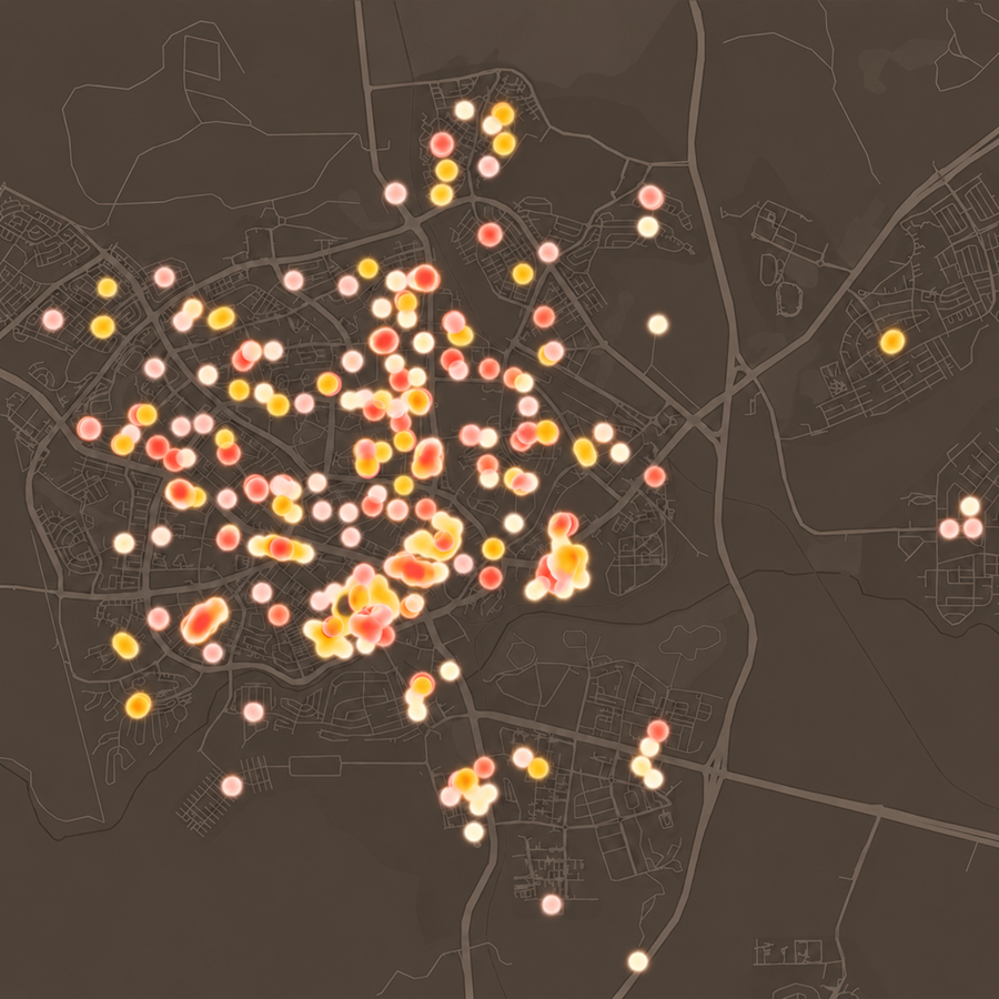
POIs were organized into top categories such as Education, Healthcare, Commercial, Parks & Recreation, Transportation, and Services, with detailed subcategories like Kindergartens, Hospitals, Gyms, Police Stations, Supermarkets, and Pharmacies. Color-coded maps visualize these categories, making it easy to identify service distribution and patterns across the city.
By integrating multiple data sources and creating clear visualizations, this project provides valuable insights into Be’er Sheva’s urban environment. It supports informed decision-making, highlights areas with gaps in services, and lays the groundwork for smarter, more equitable urban planning.
Team
Shoval Barazani (TAU)
Rotem Rand (TAU)
Talia kaufmann
Merav Batat
Collaborating Organizations
Digital Sciences for High-Tech BA Program,
Tel Aviv University
More Projects by NUR
%202.png)
Innovation District Mobility Dashboard
%201.png)
Desert Cities -
Micro climate
Food Swamps

Cities for Kids
SCORE.CH

Bet Shemesh
Shelter Analysis

Space of Agreement
BGU Mobility Survey
%202.png)
The Right to Shelter

Amenities
Innovatio District City Scope
.png)