Food Swamps
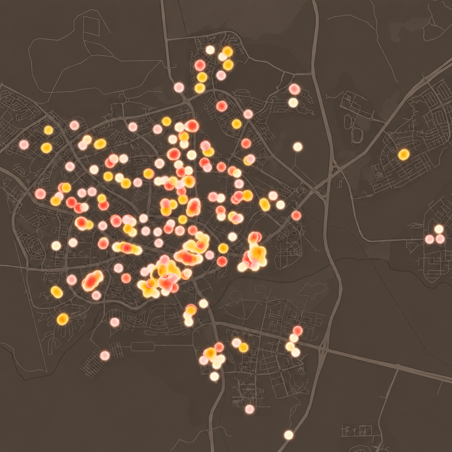
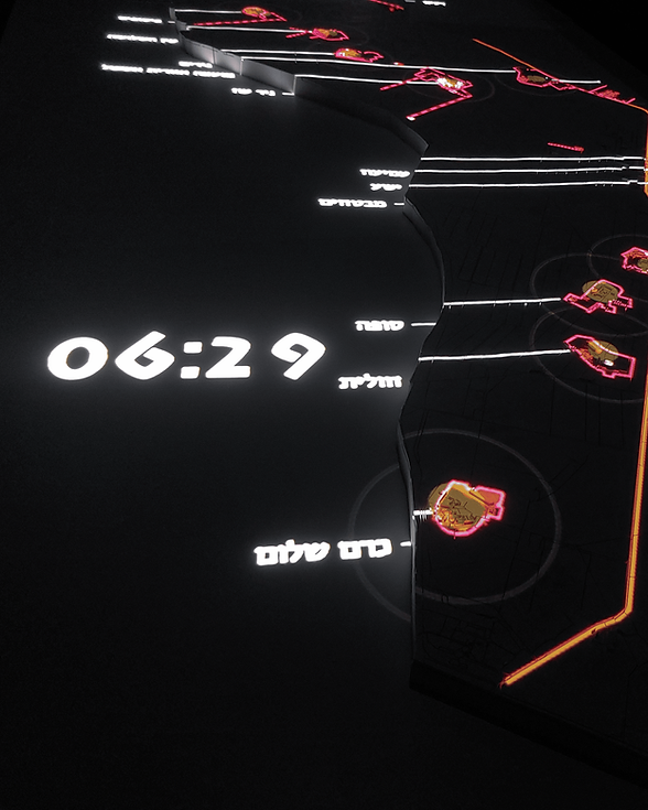
Mapping Health and Food Swamps in the city of Be'er Sheva
Be'er Sheva | September 2025


This project, developed by students in the BA program in Digital Sciences for High-Tech at Tel Aviv University, looks at the relationship between food environments and health in Be’er Sheva with the goal of creating an Urban Health database.
The places we live in deeply influence our physical and mental health. One example is food swamps, areas where unhealthy food options are far more available than healthy ones. These environments make it harder for residents to maintain healthy diets and are linked to higher rates of obesity and related illnesses. By mapping food swamps and connecting them with socioeconomic and health data, we can better understand how urban design affects well-being.

The Process
1. Collecting demographic data from Israel’s Central Bureau of Statistics.
2. Extraction and analysis of food establishment data from Google Maps, identifying 960 food sources across Be’er Sheva.
3. Classification of each food source as healthy or unhealthy using text analysis and machine learning
4. Food Swamp Mapping - We built a machine learning model (Random Forest) to classify food establishments, identifying areas where fast food dominates.
5. Developing visualizations to show where fast food is most concentrated, revealing patterns tied to socioeconomic conditions.
The resulted product sets the groundwork for further analysis in the NUR lab’s use. Our team is working with partners such as Clalit Health Services to expand access to health data and sharpen our analysis. By integrating food environment data with medical and social indicators, we hope to create new planning tools that help cities design healthier, more resilient futures.
Team
Chen Winner (TAU)
Maya Gorovitz (TAU)
Merav Battat
Ariel Noyman (MIT)
Collaborating Organizations
Clalit Health Services
Digital Sciences for High-Tech BA Program, Tel Aviv University
More Projects by NUR
%202.png)
Innovation District Mobility Dashboard
%201.png)
Desert Cities -
Micro climate
Food Swamps

Cities for Kids
SCORE.CH

Bet Shemesh
Shelter Analysis

Space of Agreement
BGU Mobility Survey
%202.png)
The Right to Shelter

Amenities
Innovatio District City Scope
.png)