Bet Shemesh
Shelter Analysis
A city-scale ananalysis of shelter placement
Bet Shemesh | March 2026


As part of the “Urbanism in Emergency” project we collaborated with the Beit Shemesh Municipality to help plan a strategy for deploying shelters throughout the city.
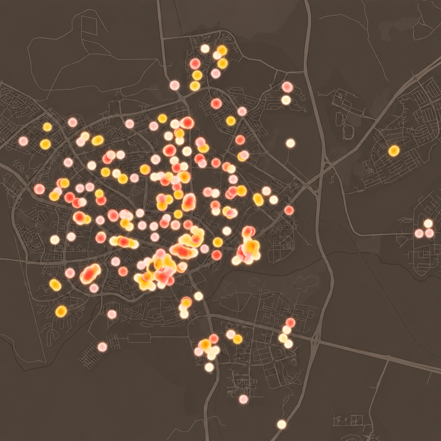
The prioritization was based on an algorithm that combined a variety of layers of information - the age of the buildings, population density, accessibility to existing shelters, and land use - to identify optimal locations for shelter complexes.

The goal: to serve the largest number of residents, within a realistic travel time from home.
Beit Shemesh is a unique case in the Israeli landscape - a city with accelerated growth, where the gap between existing planning and needs on the ground is widening.
One of the main challenges in the project was the consolidation and improvement of data from various planning sources, into an up-to-date and reliable snapshot.
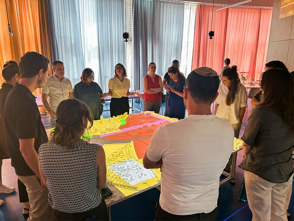
The interface that was developed allows decision-makers to examine various deployment alternatives, and to base critical planning decisions on a common and clear data base.
Team
Yonatan Cohen
Noam Gal
Gitit Linker
Merav Battat
Ariel Noyman
Collaborating Organizations
Maoz, Stav Katan
Bet Shemesh Municipality: Guy Donenfeld, Chief Municipal Engineer
More Projects by NUR
%202.png)
Innovation District Mobility Dashboard
%201.png)
Desert Cities -
Micro climate
Food Swamps

Cities for Kids
SCORE.CH

Bet Shemesh
Shelter Analysis

Space of Agreement

BGU Mobility Survey
%202.png)
The Right to Shelter

Amenities
Innovatio District City Scope
.png)