Innovatio District City Scope
Vidualizing and simulating the data of the Innovation District in Be'er Sheva
Be'er Sheva Innovation District | January 2025
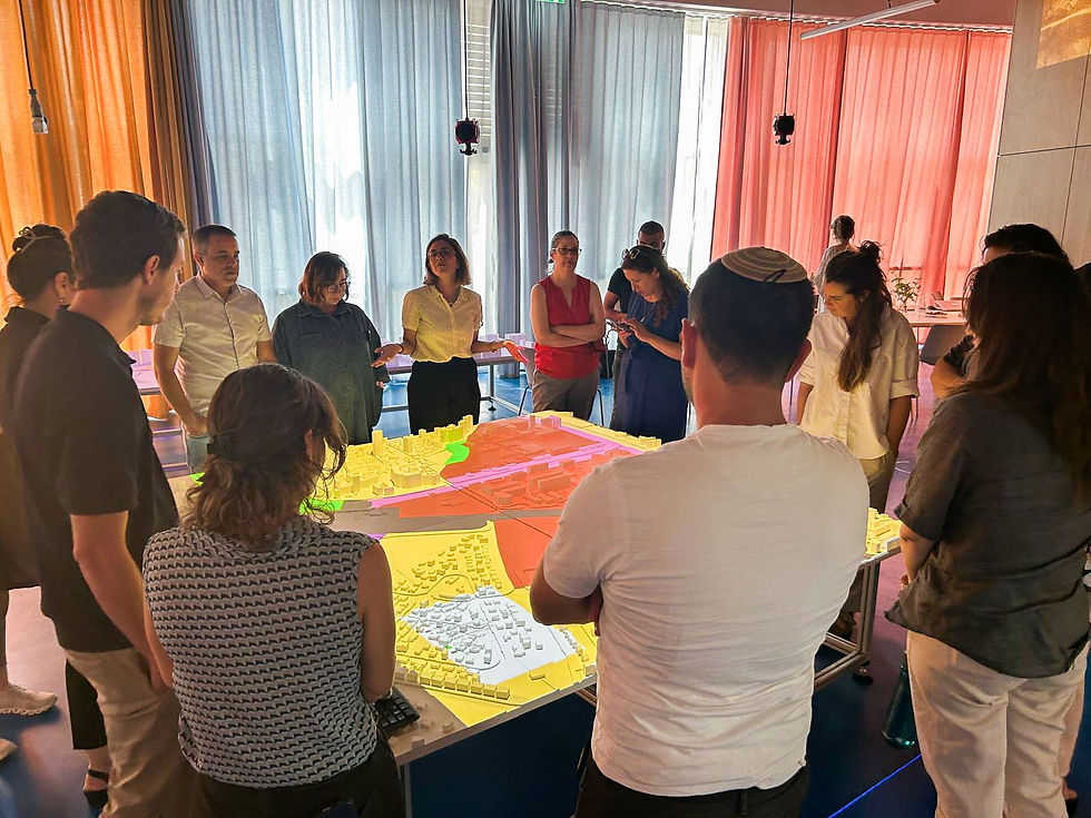

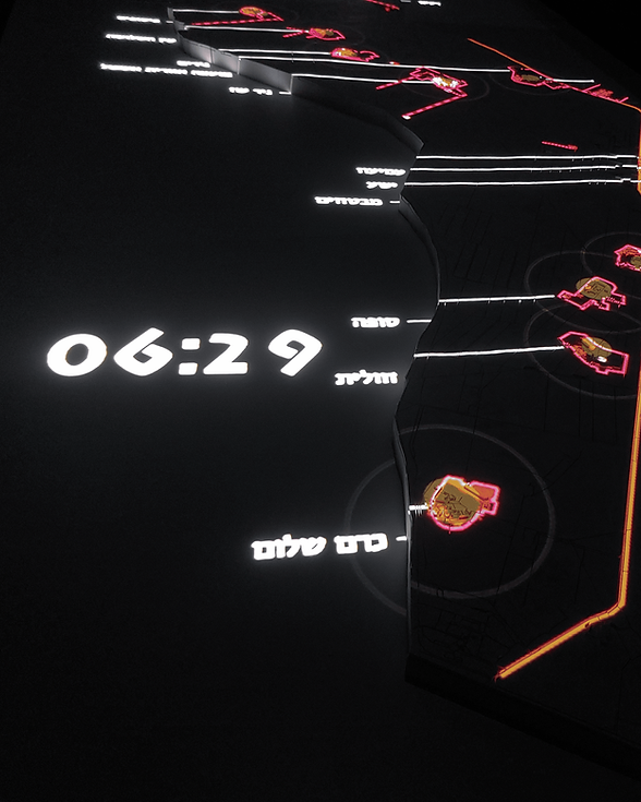
A CityScope model of the Innovation District as a tool for data-driven planning and community engagement.
The analyses include:
Spatial data: exsiting plans, landuse, parks, amenities, public and private infrastructure, accessability and future planning scenarios.
Social data: exsiting demographic statistics and predictions
Mobility and transportation data: exsiting and future transportation plans, infrastructure, public transportation, and smartphone GPS data for various modes of transport.
The CityScope model and its data has been used in workshops, student projects and presentations.
_gif.gif)
Team
Merav Battat
Yonatan Cohen
Gitit Linker
Noam Gal
Collaborating Organizations
More Projects by NUR
%202.png)
Innovation District Mobility Dashboard
%201.png)
Desert Cities -
Micro climate
Food Swamps

Cities for Kids
SCORE.CH

Bet Shemesh
Shelter Analysis

Space of Agreement

BGU Mobility Survey
%202.png)
The Right to Shelter

Amenities
Innovatio District City Scope
.png)