Space of Agreement
Interactive Digital Twin: Designing the Tekuma Region Heritage Space
Western Negev, Tekuma region | April 2026


In partnership with the Ministry of Heritage, NUR is leading the development of a Digital Twin for the Tekuma region, documenting the landscape affected by the events of October 7th. At its core, the platform bridges planning data, individual narratives, and the region’s deep history to facilitate collaborative, consensus-based regional planning, effectively visualizing the ongoing rebuilding of the area.
This initiative transforms the recovery process into a data-driven, community-led journey, through three key pillars:
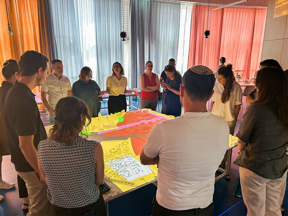
Interactive Planning: A tangible 3D model of the Tekuma region allows stakeholders to visualize and test regional planning scenarios in real-time.
Civic Consensus: By creating a "Space for Agreement," we move beyond traditional public hearings.
Communities can co-design their future, seeing the immediate visual impact of their decisions to foster trust and shared vision.
Spatial Storytelling: We embed individual narratives—stories, testimonies, events, and imagery— from its history to the tragedy of October 7th.

The platform integrates three core layers to transform community engagement from a declarative process into an actionable planning tool:
1. Physical Infrastructure
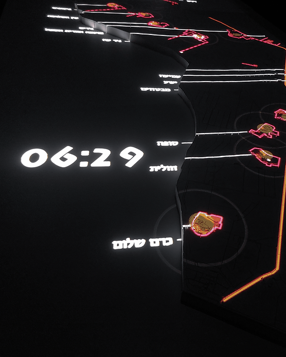
The heart of the project is a large-scale tangible workspace model representing the entire 70 km Tekuma region. Spanning approximately 5 meters at a 1:14,000 scale, consisting of 46 laser-printed tiles.
2. Digital Infrastructure
An advanced digital layer projects multi-sourced data directly onto the physical model, combining physical Layers such as land use, road networks, municipal boundaries with qualitative field research mapping the October 7th events
3. Interactive Interface & Co-Creation
The platform features custom-built interactive tools enabling stakeholders and local communities to influence planning in real-time:
- Data Cross-Referencing: Users can overlay critical layers—such as mapping October 7th events against local transportation grids—to uncover new spatial insights.
- Multi-Scale Navigation: Seamless zooming allows users to shift from a macro regional strategy to a micro community focus, projecting localized close-ups onto an auxiliary screen.
- Participatory Design: For ambiguous planning challenges—such as routing the proposed Heritage Axis—participants can draw alternative routes on their mobile devices. These options project instantly onto the model, driving real-time, narrative-driven consensus.
Ultimately, Space of Agreement demonstrates how cutting-edge spatial technology can catalyze regional resilience, transforming a landscape of tragedy into a shared future for its communities.
Team
Merav Battat
Yonatan Cohen
Gitit Linker
Noam Gal
Tuval Udelsman
Sigal Palatnik
Moriya Musigi
Merav Ferziger
Shira Shapire, Ministry og Heritage
Collaborating Organizations
More Projects by NUR
%202.png)
Innovation District Mobility Dashboard
%201.png)
Desert Cities -
Micro climate
Food Swamps

Cities for Kids
SCORE.CH

Bet Shemesh
Shelter Analysis

Space of Agreement
BGU Mobility Survey
%202.png)
The Right to Shelter

Amenities
Innovatio District City Scope
.png)